Crater Lake To Stanley, Day 0 : Curiosity 2
July 9, 2009 Filed under Curious
I’ve never been to Crater Lake, and even though I’m dead-on-my-feet tired (which is no way to start a bike tour), I notice that there are daily boat tours of the surface of the lake – a great way to see it up close and personal. The catch is, you need to walk some 500 feet down from the rim of the crater, on a steep switchback trail, to get to the boat launch. Dad graciously agrees to hang around while I go on the tour, and he drives around exploring the rim to kill some time. Meanwhile, I slog down the trail, slapping at hundreds of mosquitoes, with my camera held in one fist.
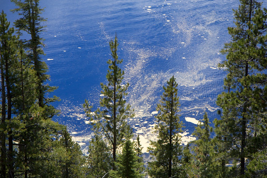
From the head of the trail, looking down the steep sides of the crater, I can see the water between the trees. It reflects the color of the sky so perfectly that the only way I can tell it’s water is by the ripples from the wind.
Further down the trail, the lake fills up more of the space between the ground and the sky. If you hold your hand up in front of your eyes and cover the far wall of the canyon, the lake becomes the sky. It’s pretty weird.
The lake is enormous. During the boat ride, I asked the guide why the crater didn’t just fill up, then overflow, and erode a channel in some part of the cliff wall, destroying the lake. He replied that there are several theories of why this didn’t happen, but the most popular one involves the porous nature of some of the volcanic deposits. Above a certain level, the water meets the edges of these deposits and seeps through, forming springs along the outer face of the mountain.
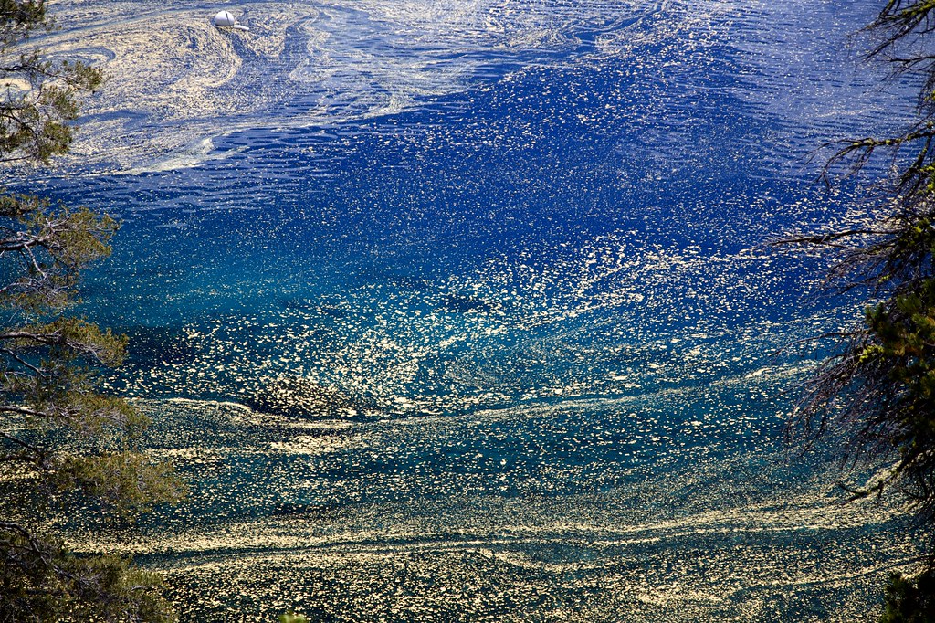
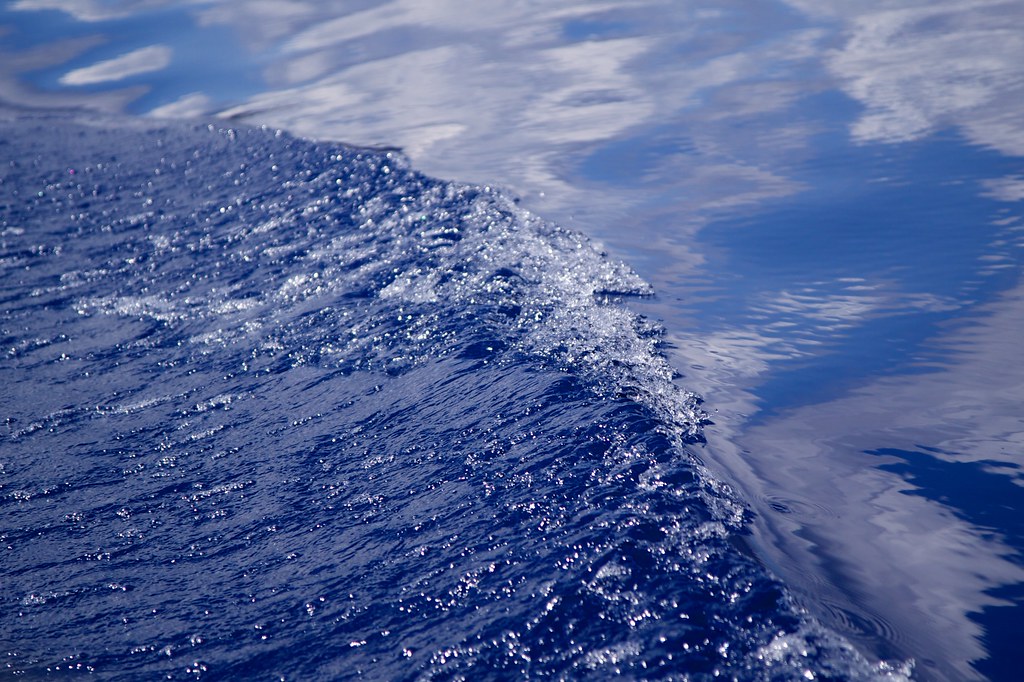
Close up, the pollen on the lake surface looks like an impressionist painting of night sky.
The crater is also home to many squirrely friends.
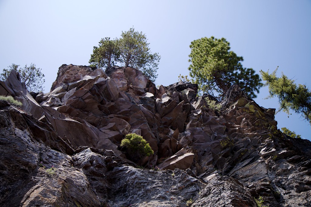
Looking up the cliff face, from the bottom of the trail.
A close look at the pollen in the lake.
The first of two tour-boats active on the lake.
Our tour guide, pausing between comments over the loudspeaker.
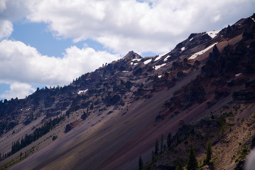
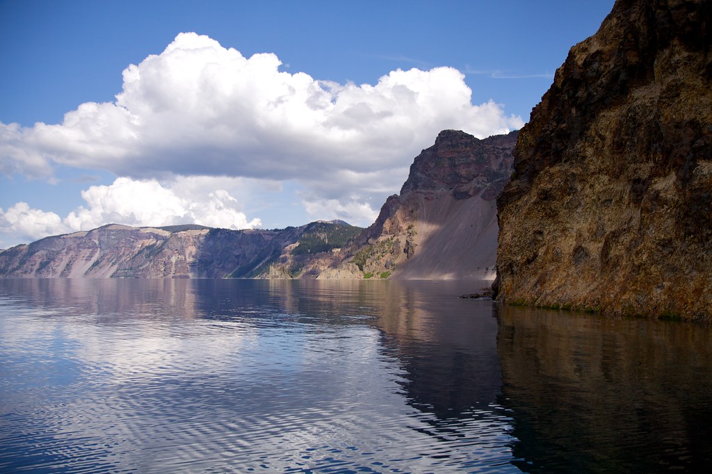
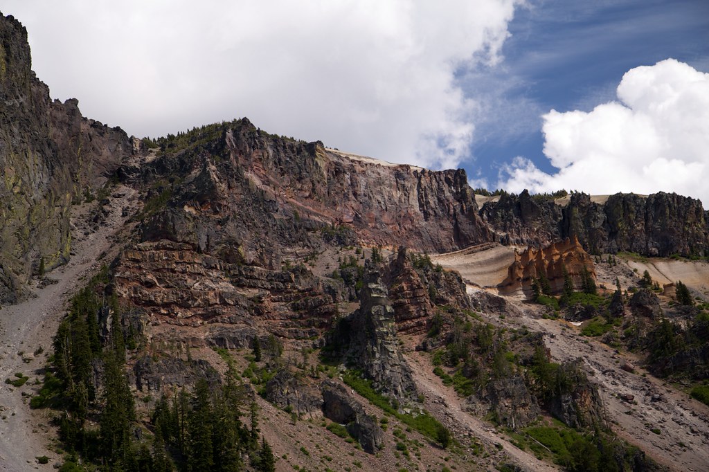
The inside wall of the crater is home to some bizarre geography.
This brutal terrain would make a good cover for a Metal album.
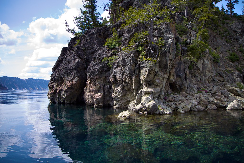
The water is shockingly blue and clear. The guide says it’s the clearest water on the entire continent.
The walls can be very sheer, unlike other lakes that have been eroded by strong current or big changes in the surface level.
The layers are a geologist’s dream – or nightmare.
The clouds seem too low, because the altitude of the lake is abnormally high. The water is uniquely clear and still, and reflects the clouds strangely.
This is Ghost Ship Island, the smaller of the two islands in Crater Lake. It’s made of some very odd rock.
Here’s the island from another angle.
The silhouette of this island is quite remarkable.
See that dark blue edge on the water there, between the foreground and the background, starting at the corner of the island? There’s a cliff under the water there. The lake is much deeper beyond the cliff, so you can see more water below, and more reflected sunlight.
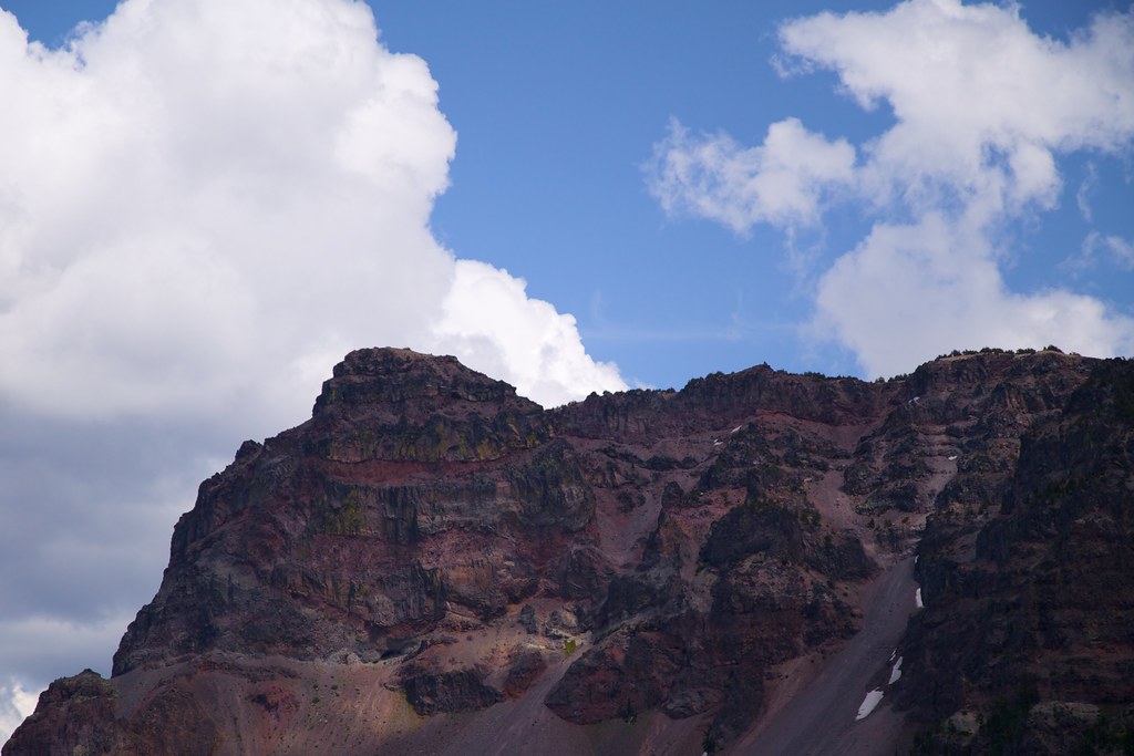
That formation on the right is called the “Pumice Castle” by the tourguides. I’d love to climb down to it, but the route would probably be very difficult. I can’t help imagining that there’s a door in it leading to some kind of medieval theme park.


